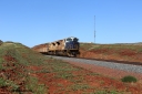
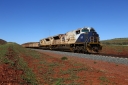
Pilbara Railways Image CollectionThe entire photo collection of images scanned from negatives and slides and digital images. **Note - Due to recent changes to make the gallery mobile friendly, please click the image for full size picture.Home  Login Album list
Last uploads
Last comments
Most viewed
Top rated
My Favourites
Search
|

|
|||||||||||||||||||||||||||||||||||||||||||||||||||||||||||||||||||||||||||